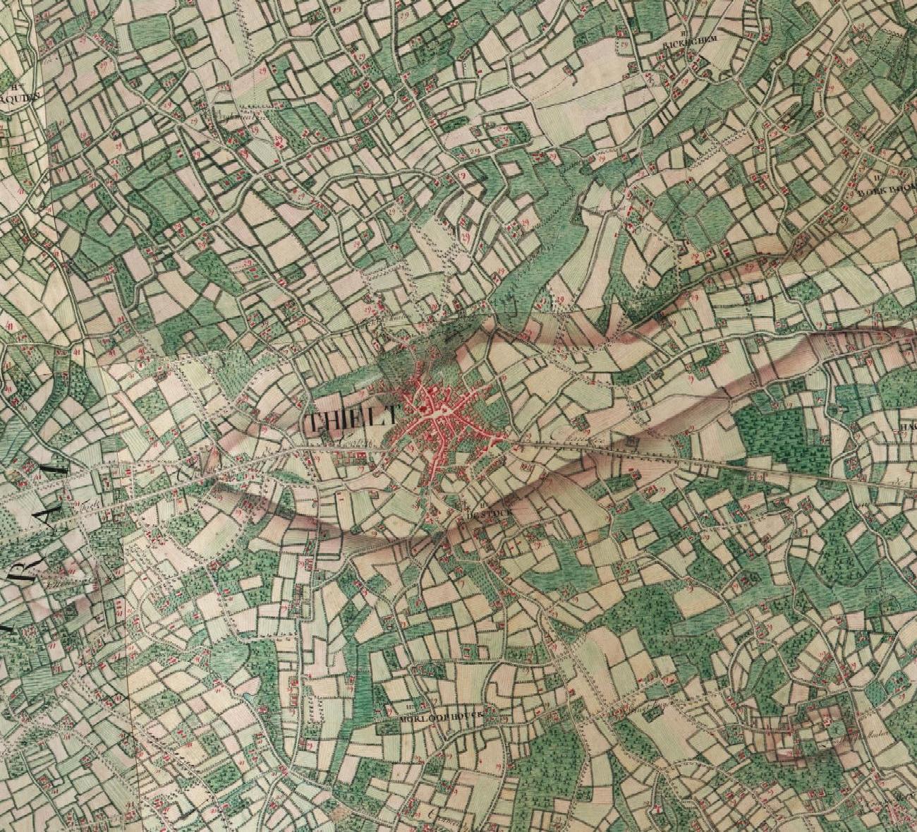
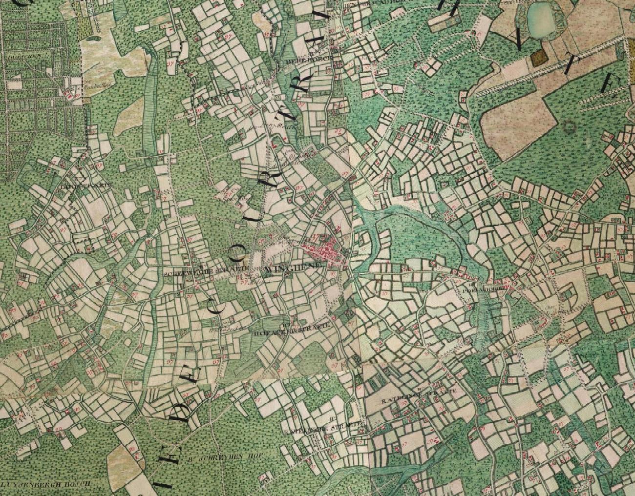
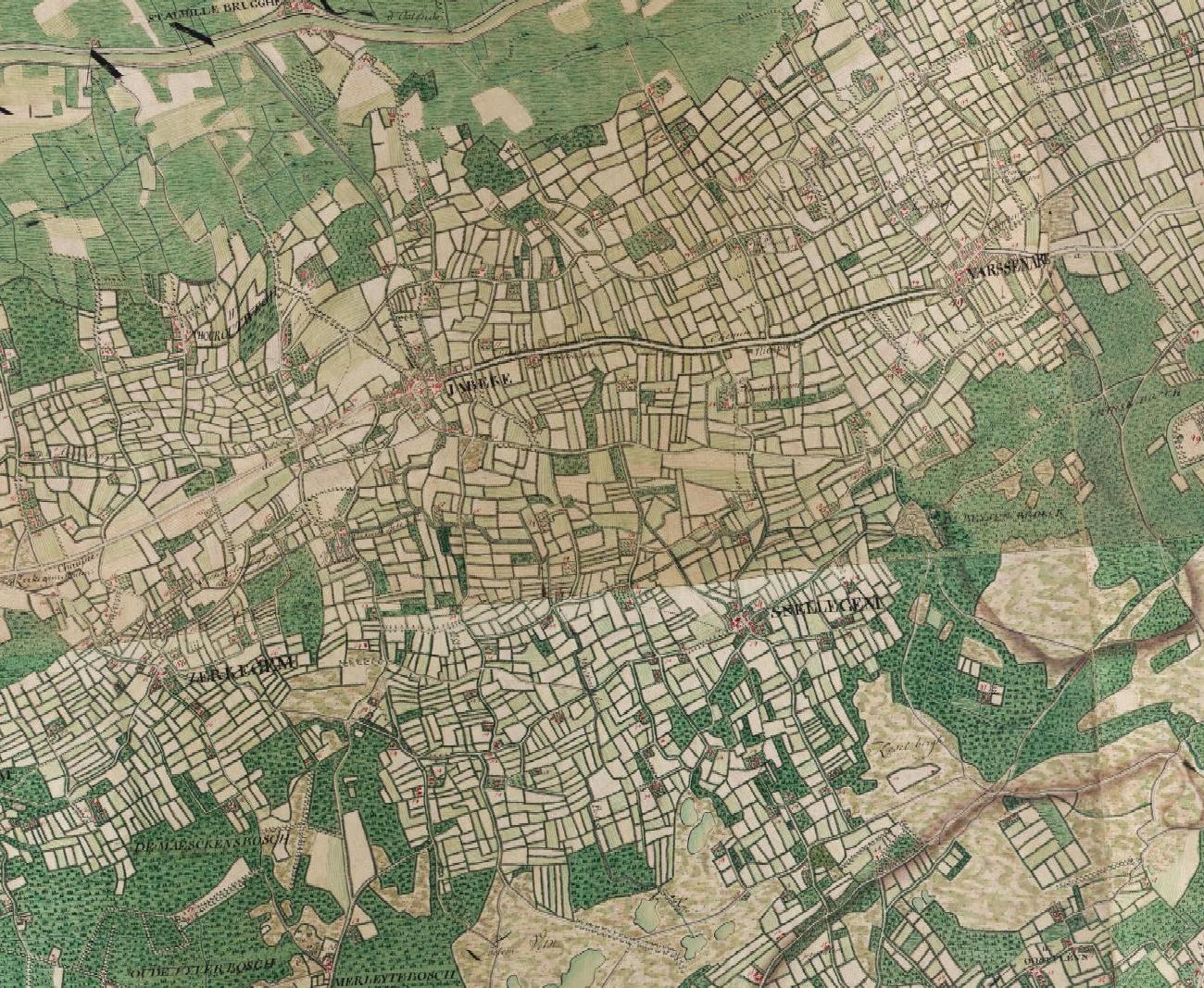
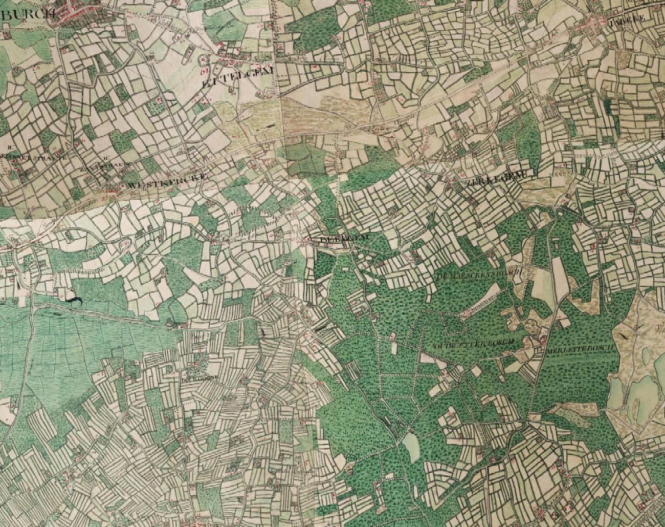
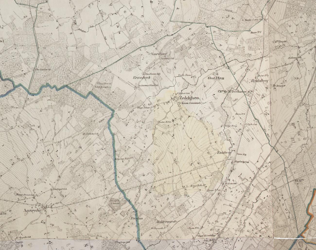
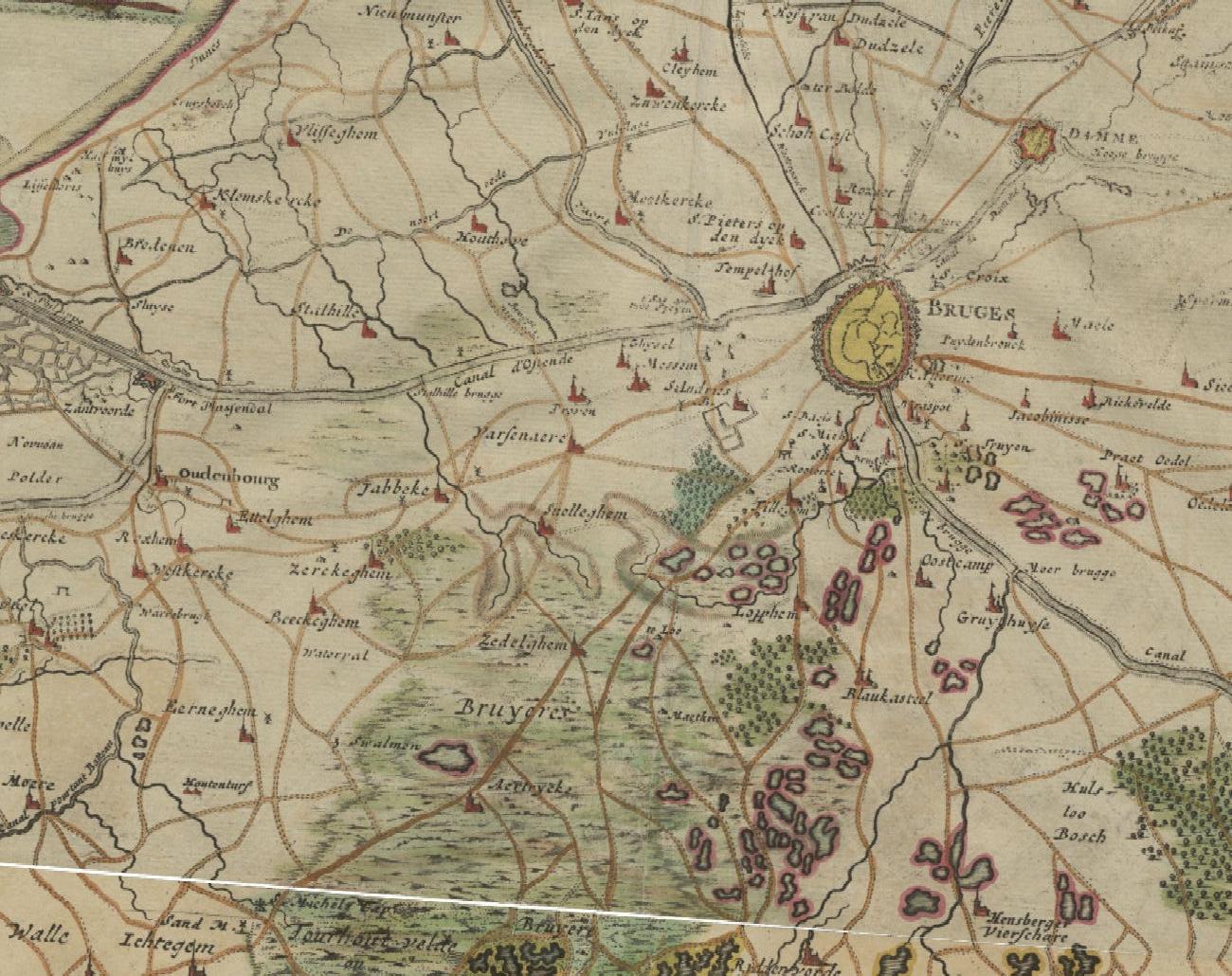
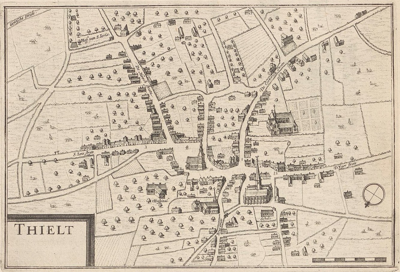
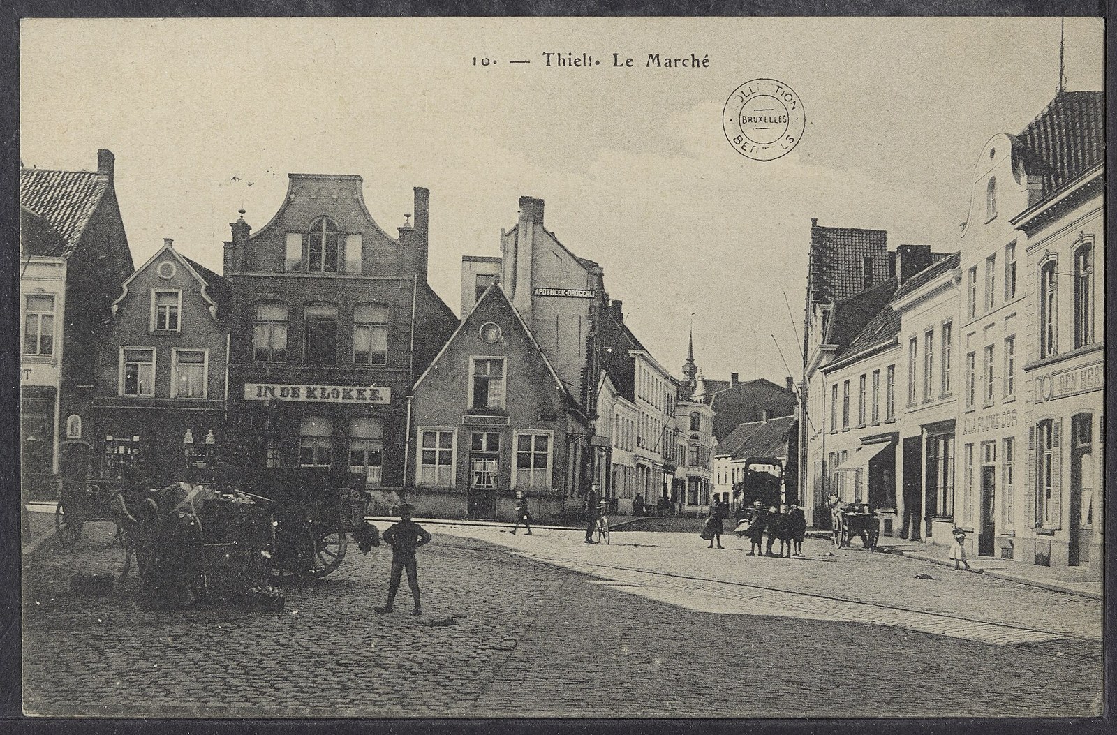
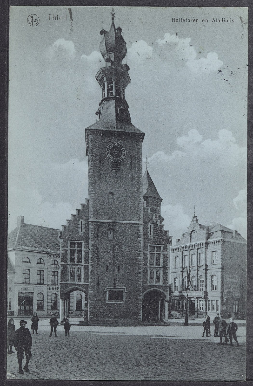
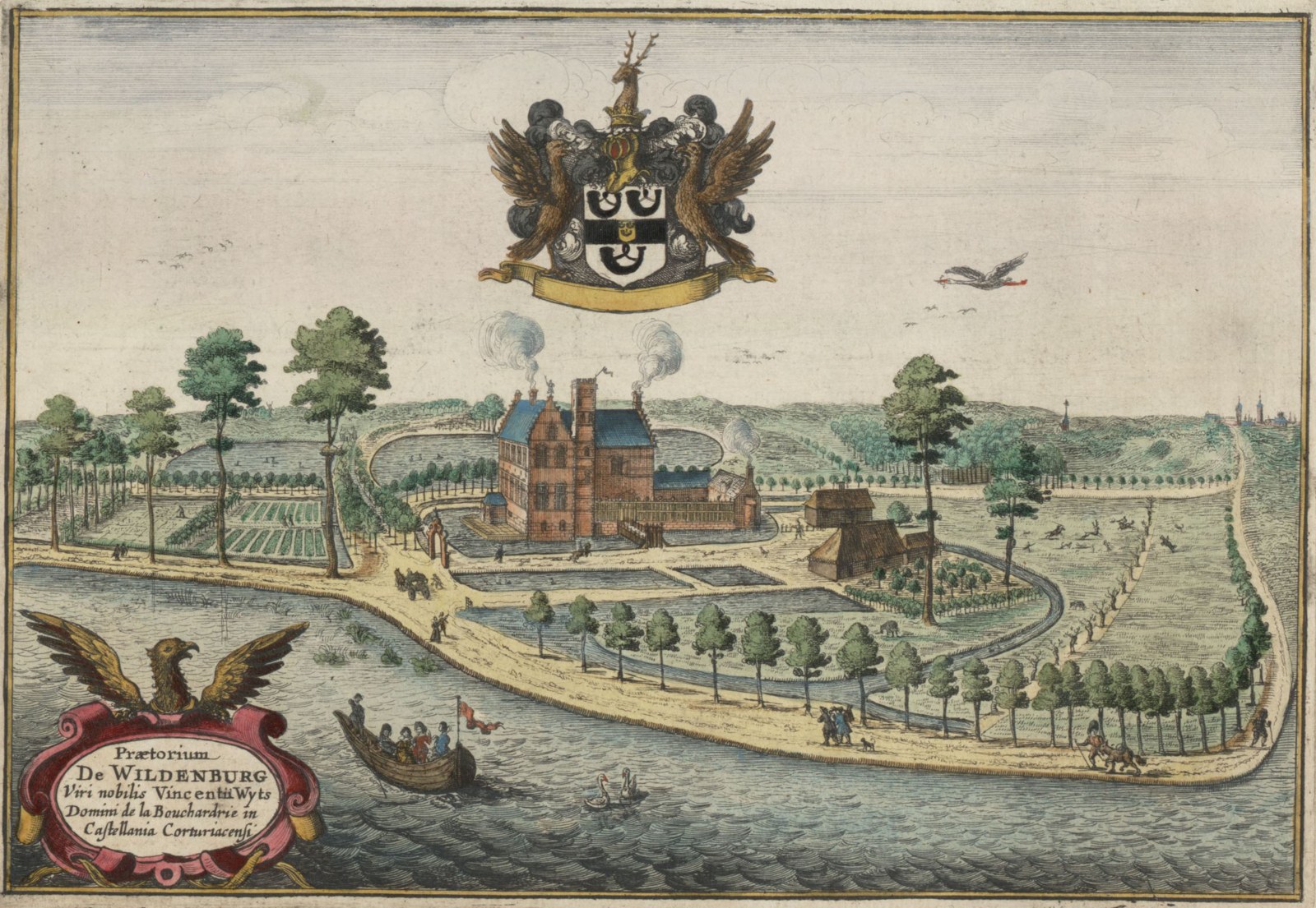
Tielt on the Ferraris map of 1777: the little cloth town around the church of Sint-Pieter, where Joannes Schaecht married Catharina de Vos in 1660 and their children were baptisedWingene on the Ferraris map of 1777: the big farming parish where Joannes Deschacht and Maria van Dierendonck raised their children, among fields, flax and heathJabbeke and Snellegem on the Ferraris map of 1777: the villages of Joannes Baptista, Emmanuel and Joanna Mestdagh, on the sandy road country west of BrugesZerkegem and Bekegem on the Ferraris map of 1777: the two villages where the family lived from Bernardus's wedding in 1794 to August's birth in the inn in 1883Zedelgem on the Vandermaelen map (1846-1854), two generations before Godelieva was born there in 1916The country west of Bruges on the Frickx map of 1712: Jabbeke, Zerkegem and Bekegem lie along the roads from Bruges to Ostend and GistelTielt in a bird's-eye plan of about 1641-1652, from Antonius Sanderus's Flandria illustrata: the small cloth town around the church of Sint-Pieter and the market, as Joannes Schaecht and Catharina de Vos knew itThe market of Tielt on a postcard of about 1920The belfry of the old cloth hall and the town hall of Tielt, about 1920: the tower stood on the market in 1660 as it did in 1920De Wildenburg at Wingene, the moated seat of the noble family Wyts, in Sanderus's Flandria illustrata of 1641: the grandest house of the parish where Joannes Deschacht and Maria van Dierendonck lived