The Deschachts, from Tielt to Zedelgem
Home
How to read
People
Tree
Maps
Sources
Saeij
Dewulf
Deschacht
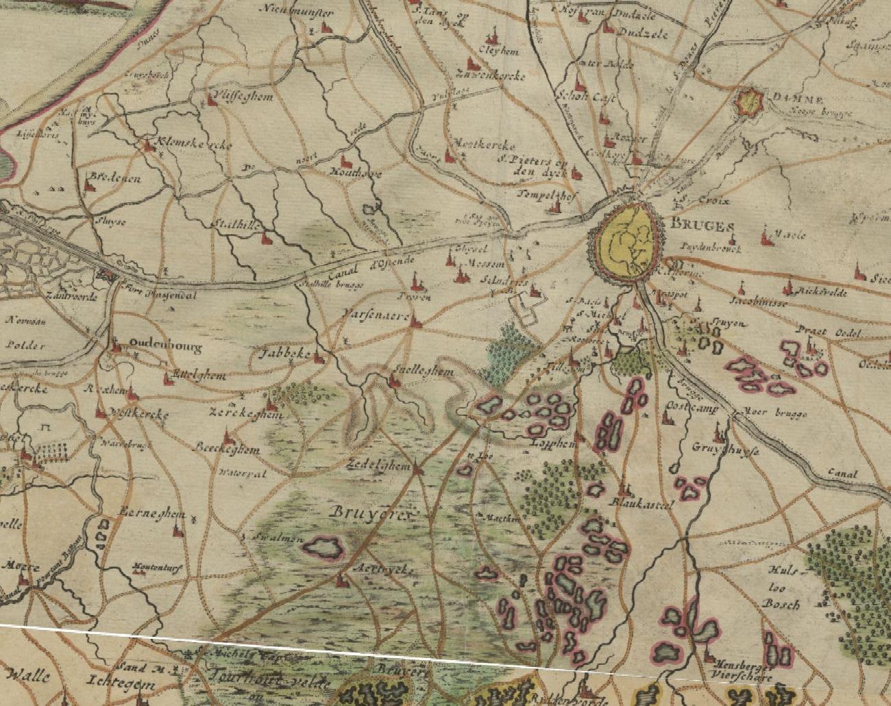
The country west of Bruges on the Frickx map of 1712: Jabbeke, Zerkegem and Bekegem lie along the roads from Bruges to Ostend and Gistel
Digitaal Vlaanderen, historical cartography service (HISTCART): Frickx map (1712).
×