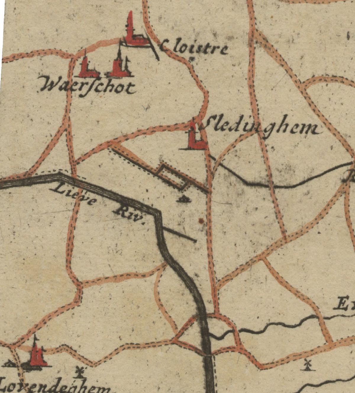
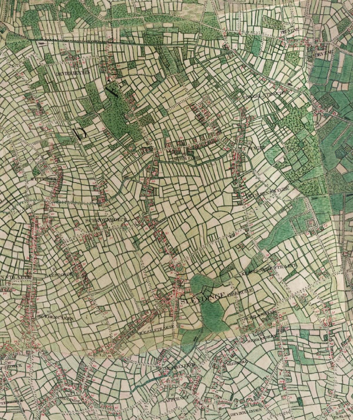
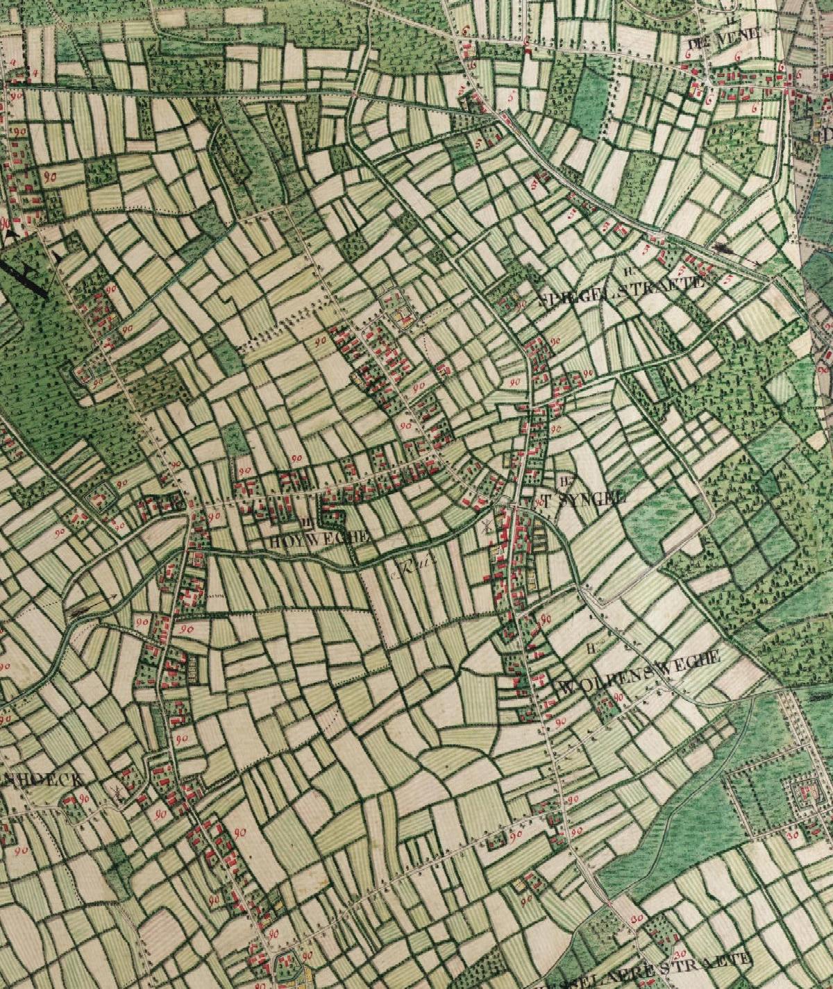
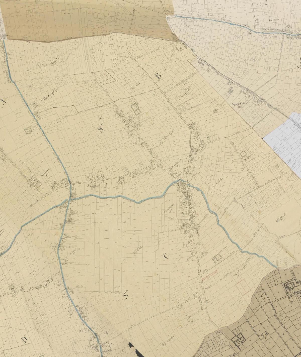
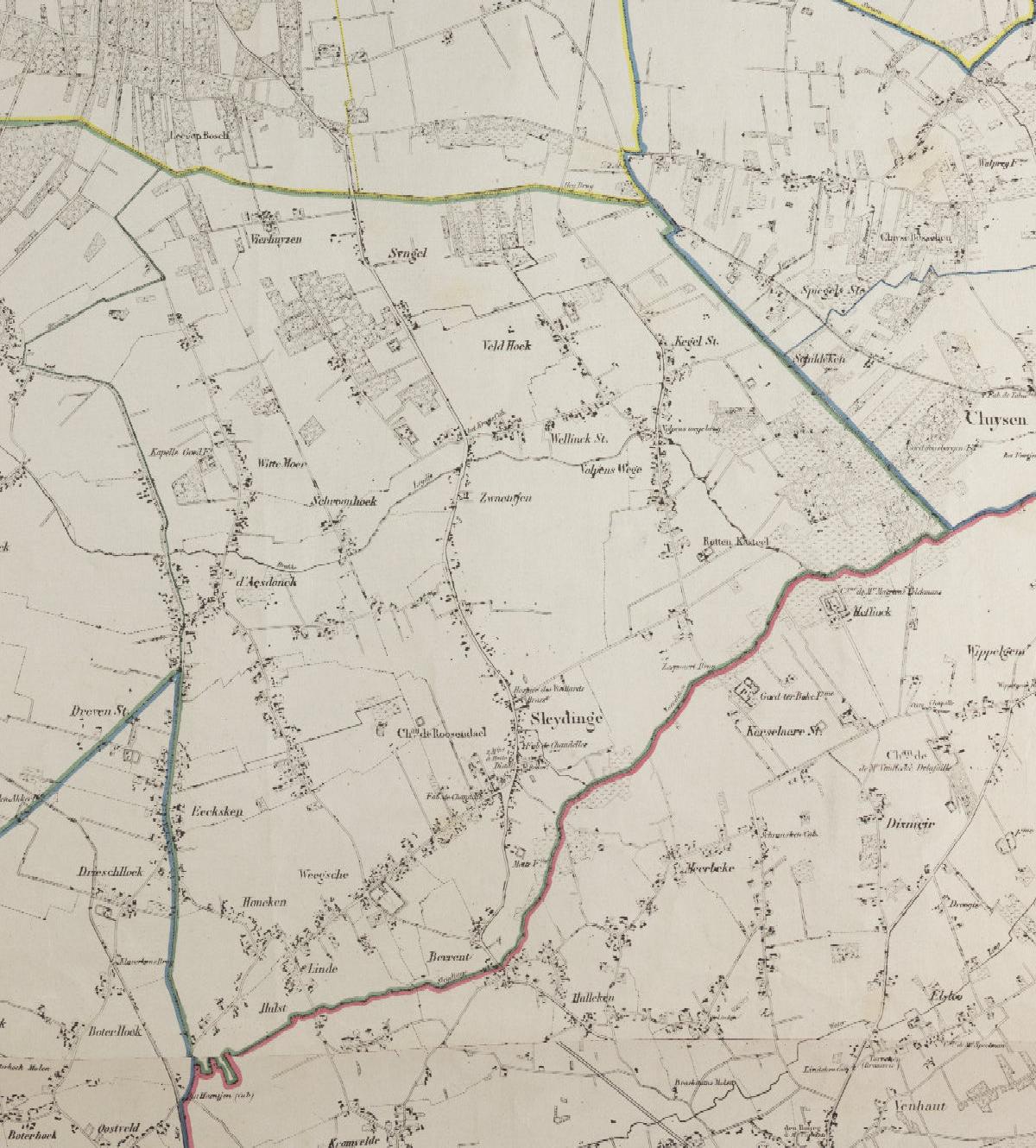
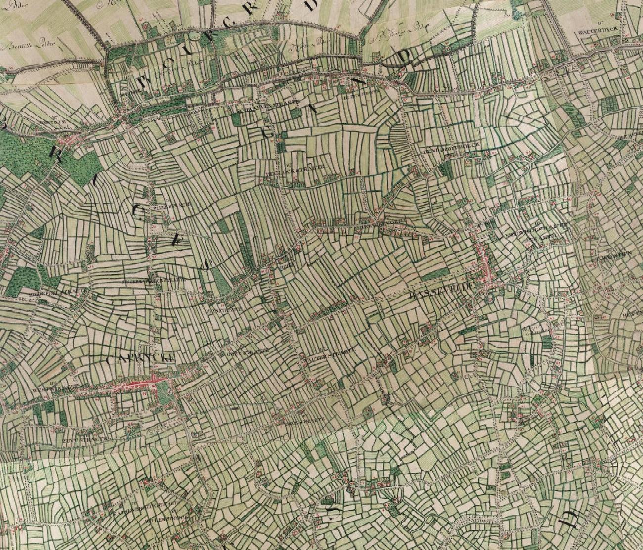
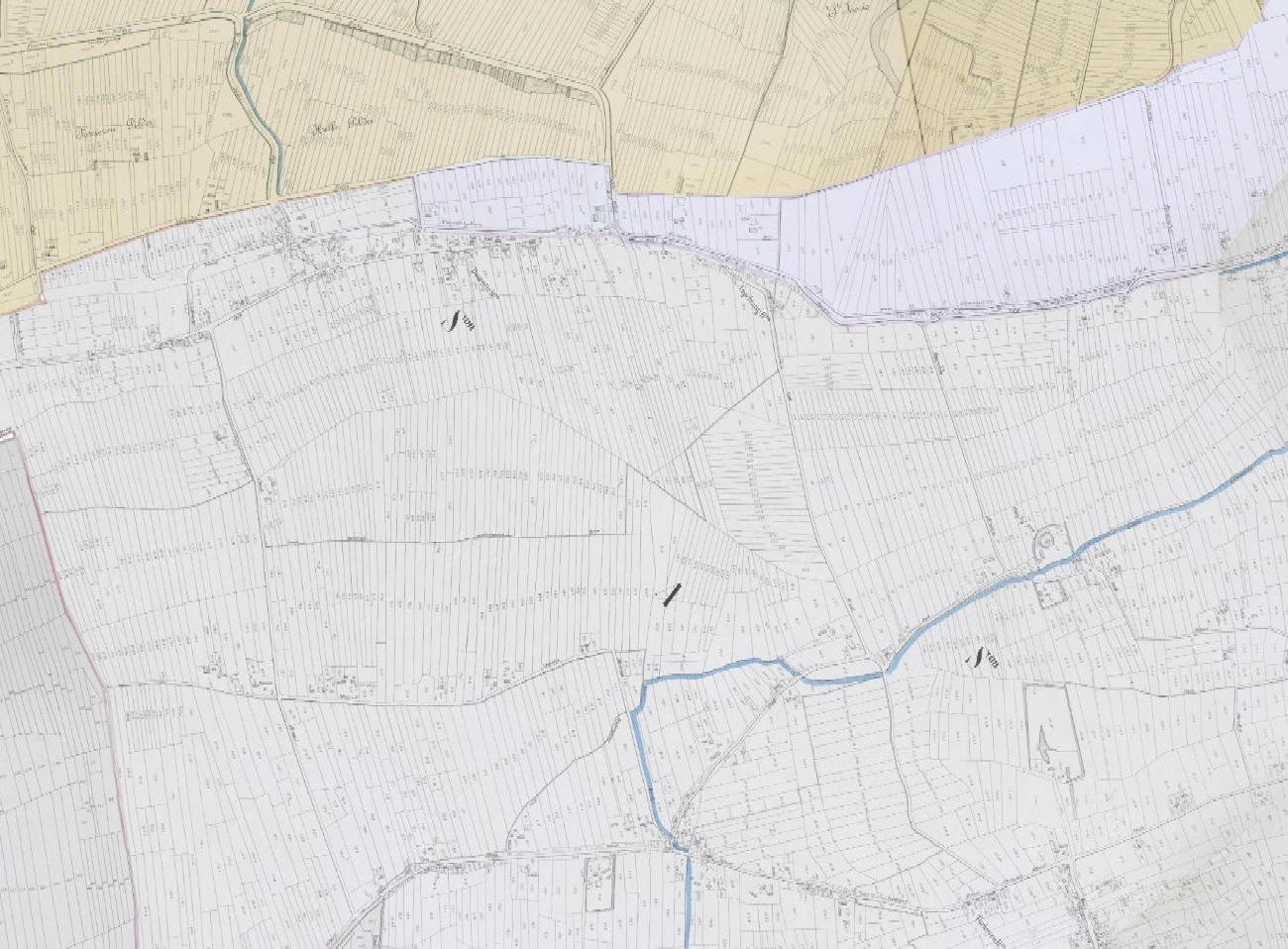
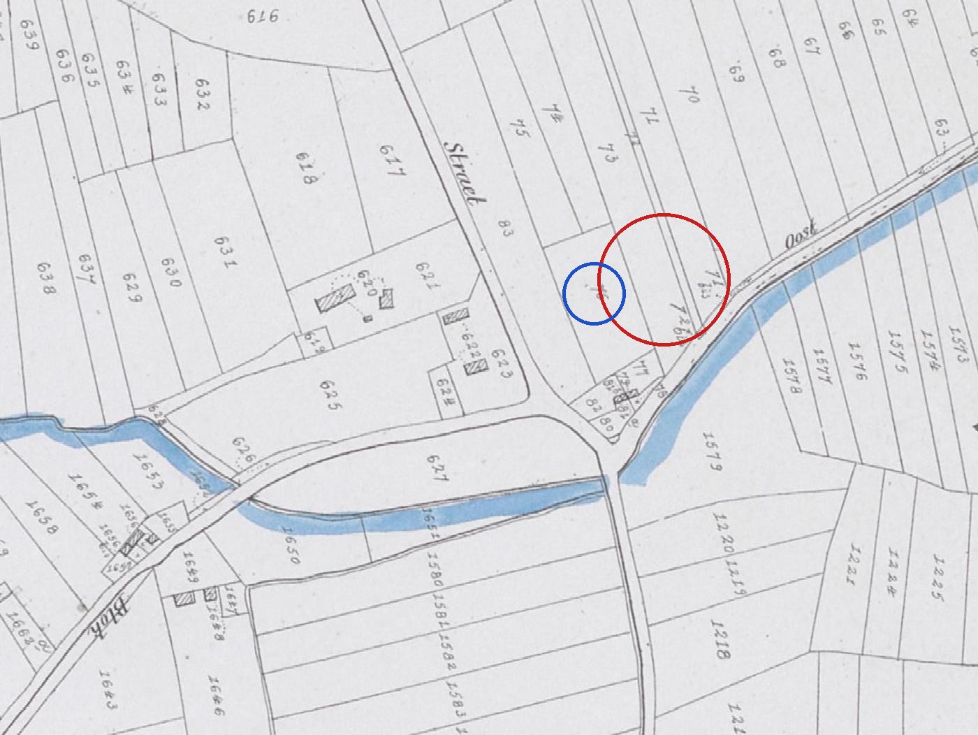
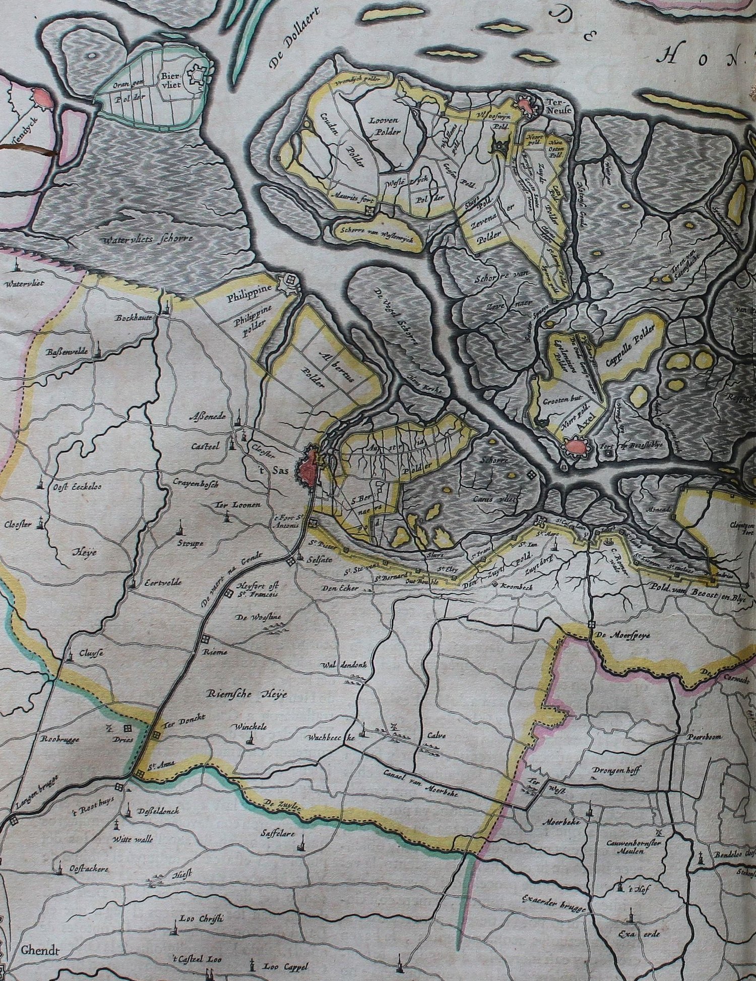
Sleidinge and its surroundings on the Frickx map of 1712, a generation after Livinus Saij's deathSleidinge on the Ferraris map of 1777: the village and church, the West Straete, the Hoyweghe and, to the east, the Volpens WegheThe Volpenswege, where the registers place the family from 1688 to 1744, on the Ferraris map of 1777: the old road from Bassevelde to Ghent, lined with farms and cottagesThe same stretch of the Volpenswege on the Popp cadastral map (about 1850), with its parcels and housesSleidinge on the Vandermaelen map (1846-1854)Kaprijke, Bassevelde and the Landsdijk along the Dutch border on the Ferraris map of 1777, where the family lived from about 1800 to the 1870sThe Landsdijk hamlet on the old Graaf Jansdijk at Bassevelde and Boekhoute, on the Popp cadastral map (about 1850)Section J of the Bassevelde cadastre on the Popp map, at the junction by the canal where the modern Landsdijk street runs. Red ring: parcels 72 and 72bis, the probable site of 'section J number 72', where Amelia Saey was born in 1848. Blue ring: parcel 76, 'section J number 76', where the neighbouring farm labourer Jacobus van Waes lived the same year. Rings added by us.The family's whole country in 1659, four years after Livinus Saij married at Sleidinge. Ghent is at the bottom left, with Kluizen ('Cluyse'), Ertvelde, Rieme and Desteldonk above it, then Assenede, Bassevelde and Boekhoute, and at the top the great grey inland sea the mapmaker labels 'De Dollaert' — the Braakman. The hatched grey is drowned land. The neat new fields marked 'Albertus Polder', between Assenede and Philippine, are the Sint-Albertpolder, diked in 1612, where Joos Saey was farming in the 1630s.