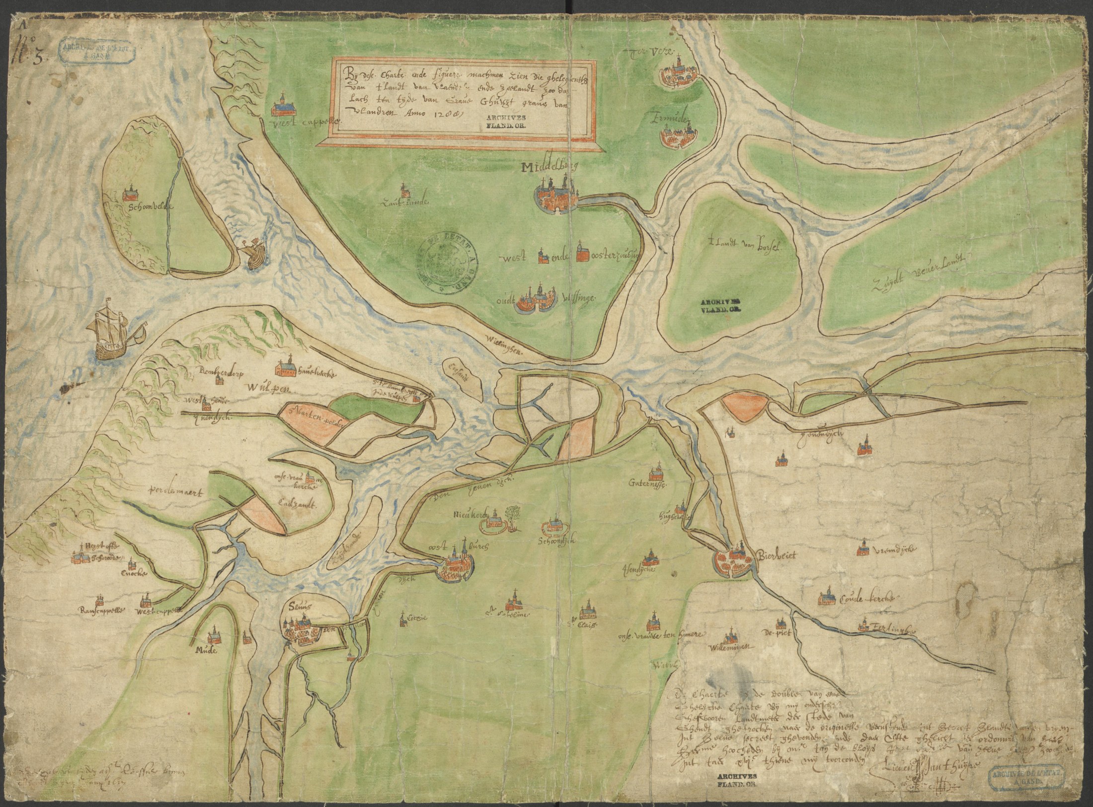
The coast of Flanders and Zeeland as it lay 'in the time of Count Guy, count of Flanders, anno 1288', redrawn in the seventeenth century from an older original. Oostburch stands on dry land, with Nieukerke, Schoondijke, Ijzendijke, Gaternisse and Biervliet around it; Wulpen, Scharphout and much of the land to the west were later lost to the sea, and the Braakman and the Westerschelde had not yet cut through. Compare the map of 1777 above: the country Eduardus Saey walked into had been remade by floods and dykes
Copy by Lieven Santhuys, sworn surveyor of the city of Ghent, after an older original (17th century; public domain). State Archives of Belgium (Rijksarchief Gent), AGATHA 514_0549_000_00013_000.