The Saeijs of Sleidinge and Zeeland
Home
How to read
People
Tree
Maps
Sources
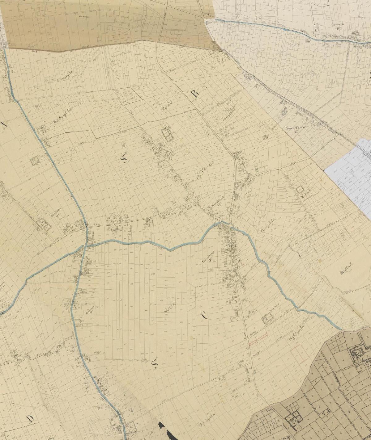
The same stretch of the Volpenswege on the Popp cadastral map (about 1850), with its parcels and houses
Digitaal Vlaanderen, historical cartography service (HISTCART): Popp cadastral map (1842-1879).
×