The Saeijs of Sleidinge and Zeeland
Home
How to read
People
Tree
Maps
Sources
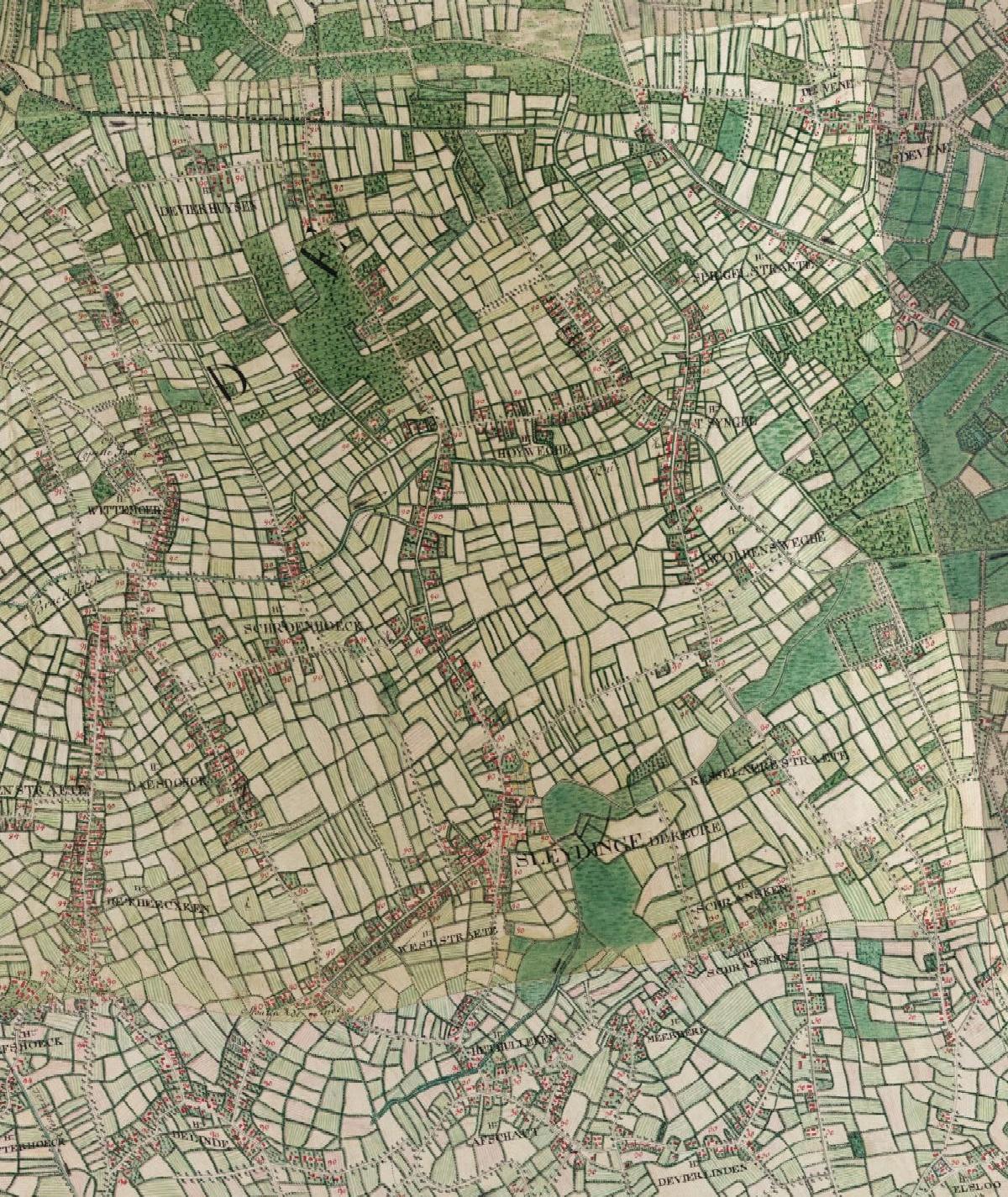
Sleidinge on the Ferraris map of 1777: the village and church, the West Straete, the Hoyweghe and, to the east, the Volpens Weghe
Digitaal Vlaanderen, historical cartography service (HISTCART): Ferraris map (1777).
×