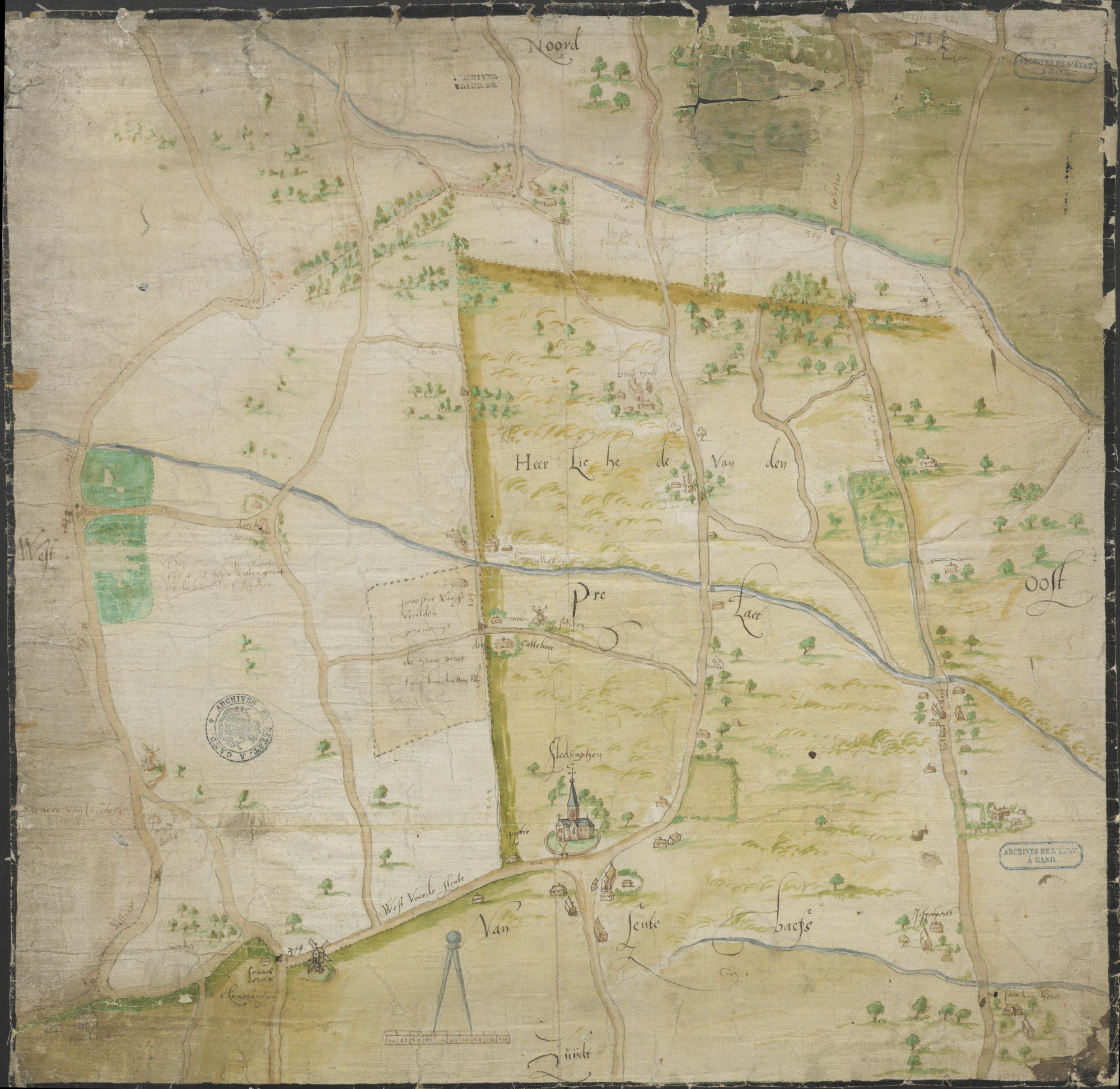
Sleidinge on an undated hand-drawn map, probably of the later sixteenth century: the church of Seleyghen at the bottom, the 'Heerlichede van den Proost van Sente Baefs', the lordship of the provost of Saint Bavo that became Sleidinge-Sint-Baafs, across the middle, and 'de Kuere', the Keure, along the top. Its note reads 'Dese figuere ... es de Kuere in Seleyghen'. This is the countryside in which Livinus Saij lived all his married life
Manuscript map, anonymous, undated (probably second half of the 16th century; public domain). State Archives of Belgium (Rijksarchief Gent), AGATHA 514_0549_000_00415_000 (coloured copy; an uncoloured copy is 514_0549_000_00416_000).