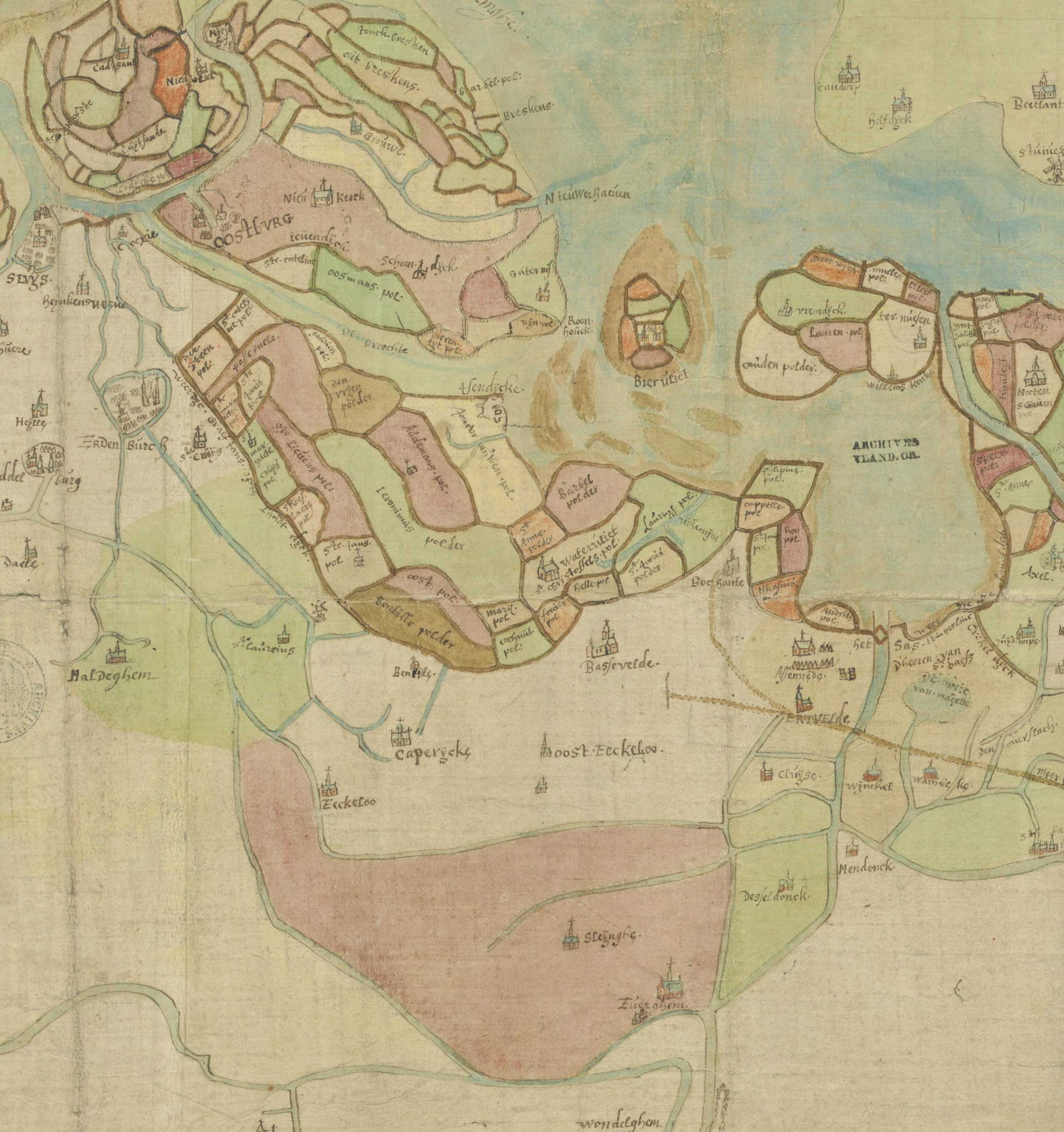
The whole road of the family on one hand-coloured map of the seventeenth century: Sleyinghe and Everghem at the bottom, Caperycke, Oost-Eeckeloo and Basse-velde in the middle, and above them the patchwork of polders that runs up to Oostburch and Ysendyke, where Eduardus would settle two centuries later
Copy by Lieven Santhuys, sworn surveyor of Ghent, of an older map from the 'stercfhuijse' of Jacques Pottier at Hulst, drawn for a lawsuit between the abbot of Saint Peter's, Ghent, and the chapter of Tournai, and the lord of Watervliet (17th century; public domain). State Archives of Belgium (Rijksarchief Gent), AGATHA 514_0549_000_00019_000.